
Dothan ZIP Directory Coverage
Three verified delivery geographies and one facility or PO-box ZIP shape Dothan postal coverage. The area descriptions below are broad, not street-by-street borders. USPS address lookup controls the current mailing answer. Census ZIP Code Tabulation Areas, called ZCTAs, are statistical approximations and should not replace a postal result.
| ZIP | Areas Covered | Post Office | Local Note |
|---|---|---|---|
| 36301 | South and east Dothan delivery geography, broadly | Dothan main network | Delivery ZIP and Census ZCTA; confirm each street |
| 36302 | Main facility and PO-box mail | DOTHAN, 379 N. Oates St. | Not a Census neighborhood polygon |
| 36303 | North and central Dothan delivery geography, broadly | NORTHSIDE, 3741 Ross Clark Circle | Postal area may cross the city line |
| 36305 | West and southwest Dothan delivery geography, broadly | Served through the Dothan network | No separate official retail page was verified |
The research did not verify 36304 through an authoritative USPS facility or result. It should not be published as a confirmed Dothan service area without a live address or city-and-state query. That gap is useful: a postal directory should say when a number remains unconfirmed rather than turn a repeated web claim into a postal fact.
Verify Dothan ZIP Addresses
Use the USPS address lookup for one exact Dothan address. Street, city, and state input produces the current delivery code and can resolve assumptions made from a generalized map. The city-and-state version is useful for seeing codes associated with Dothan, but it does not draw a legal boundary or identify all parcels within municipal limits.
The captured USPS address tool is the source to use before any ZIP-keyed record search.
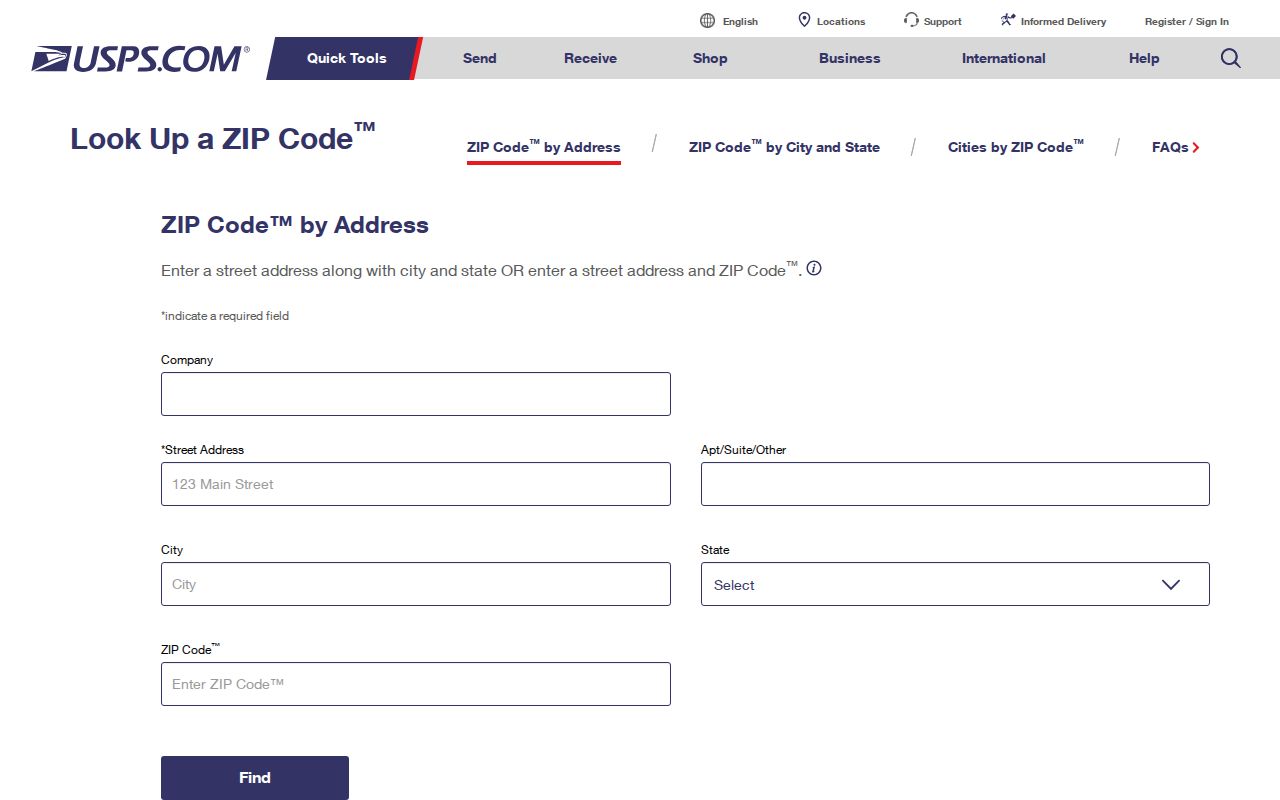
The form supports an address-level answer, which is more reliable than assigning a code from a neighborhood label. Save the standardized postal result and then move to county or city records.
| Lookup input | Purpose |
|---|---|
| Street address | Identifies the delivery location |
| City and state | Places the street within the postal naming context |
| ZIP result | Provides the current delivery code for that address |
| ZIP+4 result | Adds a finer delivery segment when USPS returns one |
Search Dothan Residents by ZIP
The exposed Houston County property form does not provide a verified ZIP filter. Its controls are Tax Year, Search Type, Search Terms, and Subdivision; the dynamic option lists were not visible during research. Houston GIS also had no confirmed ZIP layer or ZIP-wide export. A careful search therefore verifies addresses one at a time unless a custodian explicitly provides a lawful extract.
- Run the exact address through USPS and record the current delivery code. Do not infer it from a broad map.
- Open the Houston County property gateway. Use a supported search type for the address or owner and keep the parcel identifier.
- Confirm map position in the Houston County GIS entry. Check the county and city jurisdiction rather than assuming the mailing city controls.
- For voter data, use My Voter Page only as an individual identity check. A full public list is a separate request with fees, protected omissions, and legal limits.
- Once the ZIP code has narrowed the area, use the Dothan street directory for the address-level record chain.
This method is slower than a guessed ZIP-wide browse, but it preserves the difference among postal, parcel, and voter systems. It also prevents a PO-box code from being mistaken for a group of homes.
Dothan Property ZIP Gap
The Revenue search should not be described as ZIP capable when the exposed form does not show that field. Its actual visible controls are valuable because they mark the boundary of verified functionality.
| Property field | Type | Required | Verified note |
|---|---|---|---|
| Tax Year | Dropdown | Not marked | Dynamic options hidden |
| Search Type | Dropdown | Not marked | Do not invent owner or address modes |
| Search Terms | Text | Not marked | Depends on selected type |
| Subdivision | Dropdown | Not marked | Option list hidden |
A Dothan directory can still connect postal and parcel facts, but it must do so address by address. Ask the Revenue Commissioner whether a lawful data request supports postal-code extraction before claiming a bulk route. The office can also explain a parcel that falls near a county or municipal edge.
Note: A tax mailing ZIP belongs to the owner's correspondence address and may differ from the situs parcel's delivery code.
Why Dothan 36302 Differs
36302 is tied to the main Dothan facility and PO-box mail. The verified facility is DOTHAN at 379 N. Oates Street, with ZIP+4 36302-9998 and phone 334-794-8567. Census did not return 36302 beside the delivery ZCTAs, so it should not be colored as a Dothan neighborhood polygon.
A PO box may identify a correspondence point for a person, business, estate, or public filing. It does not disclose a dwelling. If 36302 appears on a deed, court paper, or entity filing, preserve it as the record's mailing clue. Then use a parcel legal description, a separate physical address, or another independent source if location matters.
The USPS city-and-state lookup shows the proper way to check Dothan-associated codes.
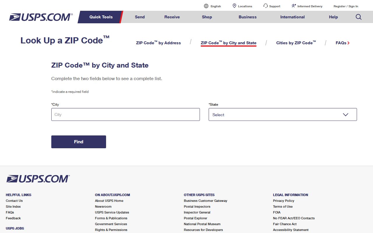
The lookup associates codes with postal service, not with city wards, neighborhood names, or tax parcels.
Dothan Delivery ZIP Evidence
36301 is supported as broad south and east Dothan delivery geography. Monthly city permit examples confirm Dothan streets use it, while Census treats it as a ZCTA. That is enough for a broad directory description, but not enough to draw an exact edge. USPS remains the source for one address.
36303 broadly serves north and central Dothan. The NORTHSIDE station at 3741 Ross Clark Circle has the verified postal code 36303-0002. Its postal geography can extend outside Dothan's municipal line. A 36303 result therefore cannot decide whether the City Clerk, Dothan permit office, or a county-only process has jurisdiction.
36305 broadly serves west and southwest Dothan, and permit examples confirm city street use. No distinct official retail-office page was found for it. The directory should state that service runs through the local postal network and avoid inventing a station or named-neighborhood boundary.
Dothan Annexation Changes Addresses
Dothan annexation can lead to a street name or number change so an address meets E-911 standards. Yet annexation does not guarantee city utility service or road work, and it does not necessarily cause a ZIP change. The E-911 Addressing Agent at 334-615-4437 is the verified city contact for a correct address. Planning and the City Clerk handle annexation steps.
An annexation petition includes a county parcel ID, legal description, map showing relation to existing limits, and signatures of all record owners. Those land keys are more stable than a changing postal label. When two versions of an address appear, match the parcel and legal description first, then date each street form and postal code.
Boundary check. A Dothan postal line, a Dothan city parcel, and a Houston County record route can overlap without being the same boundary.
Read Dothan ZIP Evidence
Different records display a ZIP for different reasons. A deed may contain a grantee mailing address and a separate physical property address. A tax record may send notices to an owner somewhere else. An entity filing may preserve the address of an agent or principal at the filing date. A permit is tied to a project location. Each one must keep its original role and date.
For family history, a ZIP can help sort later records, but it should not be projected backward before the code or delivery assignment existed. Dothan grew from Poplar Head and sits near the Florida and Georgia lines. Families, businesses, telephone exchanges, churches, and newspapers can cross state and county repositories. The 1963 regional telephone directory, for example, covered Dothan and several surrounding Wiregrass exchanges. A Dothan title did not make every listing a city-limit address.
Modern parcel work has a similar jurisdiction issue. Small parts of Dothan's urban and postal geography approach Dale and Henry counties. Confirm the parcel jurisdiction before choosing a probate or tax office. Houston County Probate is correct only when Houston County holds the land record. The five-digit mailing code alone cannot select a recorder.
Keep a simple evidence log for each address: USPS result and check date; parcel identifier and county; city-limit status if a municipal record is needed; situs address; owner mailing address; and the dated source that names a person. That small set preserves what postal research contributes without claiming more than the evidence supports.
Dothan ZIP Codes Versus Limits
ZIP boundaries serve mail delivery. Dothan corporate limits govern city jurisdiction. Houston County parcel lines establish land units, while Census ZCTAs support statistics. These layers answer different questions and may disagree at the same address. A 36303 mailing address may sit outside city permit jurisdiction, and annexed land can remain in an existing postal route.
The Dothan ZIP code directory is a narrowing tool. For a permit, confirm the city line. For ownership, confirm the parcel. For a mailing answer, use USPS. For nearby streets, move from the verified address to GIS instead of treating a five-digit code as a hard polygon.
- ZIP and ZIP+4
- A ZIP groups delivery geography; ZIP+4 adds a smaller delivery segment.
- PO-box ZIP
- A code used for box or facility mail rather than a residential polygon.
- Unique ZIP
- A code assigned to one high-volume organization; none was verified for Dothan.
- Carrier route
- A postal delivery path that can divide or cross broader ZIP geography.