
Dothan Block Record Sources
A block search is a set of small, testable lookups. The parcel map defines what touches the subject land. Revenue records confirm each parcel record. City notice practice offers a second, unusually local nearby-owner method. Voter and permit data add public roles but do not complete a household roster.
| Source | What It Shows About a Block | Access |
|---|---|---|
| Houston County GIS | Touching or nearby parcel geometry and map identifiers | Free click-and-pan viewer; outage caveat |
| Revenue property records | Current tax-roll record for each parcel | Free dynamic search or office counter |
| Dothan 300-foot process | Nearby owners and current mailing addresses for a specified city application | Revenue office procedure |
| Public voter list | Registered public-field entries along block addresses | Paid request; protected omissions |
| Permit sheets | Issued work, date, type, address, and contractor | Monthly PDFs or record request |
| Association registry | A civic contact channel for groups that register | No public member roster verified |
Parcel ownership and residence are not synonyms. The owner's tax-mailing address may differ from the situs address, which is the physical land location. That mismatch can show correspondence sent elsewhere. It cannot name the current occupant. Likewise, a voter result covers registrants whose fields are public, not every adult or child on the block.
Dothan Neighbor Parcel Lookup
The defensible adjacency method uses the Houston County GIS entry. Accept the tax-use disclaimer, search or zoom to the subject parcel, click it, and then click every polygon that physically touches it. Pan outward only as far as the chosen block question requires. No Houston-specific radius or buffer tool was verified, so the process must not claim one.
The source image comes from the Houston County interactive parcel viewer.
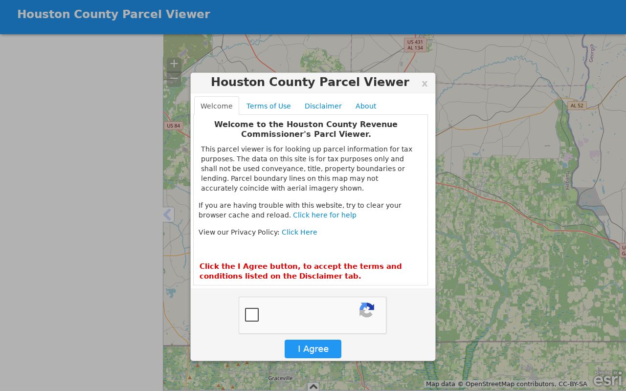
The viewer supports visual parcel selection and map context. Its lines and measurements are approximate and tax-oriented. Recorded plats and deeds, not the screen, control conveyance.
At research time Houston County warned that technical upgrades could leave layers unavailable or stale. If the subject parcel will not load, call Revenue Mapping at 334-677-4755. Ask staff to confirm the parcel key before building a neighbor list.
Dothan Block Lookup Workflow
The process keeps geometry and identity in separate steps. That avoids copying an owner label from a map popup whose fields have not been fully verified. It also makes the result easy to audit later.
- Verify the starting street address and jurisdiction. A Dothan postal line may fall outside city limits, so note the county and parcel.
- Click the subject polygon, then each physically touching polygon. Record parcel identifiers rather than estimating ownership from lot position.
- Open the Revenue property search and confirm each parcel separately. Preserve situs and mailing fields only if the result displays them.
- Add permit activity or public voter entries only as dated layers. Do not turn them into an all-resident claim.
- For the full named road, switch to the Dothan street directory rather than extending a block sample without limits.
The compact result is “address to parcel, parcel to touching parcels, each parcel to Revenue confirmation.” Deeds become useful only when ownership history or a legal boundary needs proof.
Dothan Neighbor Notice Method
Dothan's manufactured-home and portable-building application gives a local model for finding nearby owners. Applicants must obtain names and current mailing addresses of property owners within 300 feet from the Houston County Revenue Commissioner at 462 N. Oates Street, fifth floor. The instructions separately direct applicants to the E-911 Addressing Agent at 334-615-4437 for the correct address.
This is not a public household directory. It is an owner-notice process tied to a defined city application. Its value for a block search is conceptual: official nearby notice starts with parcels, measures a stated distance, and uses Revenue's owner mailing data. It does not infer renters, relatives, or other people living at each site.
Local method. The city's 300-foot procedure confirms that nearby-owner notice is parcel based, while correct-address work belongs with E-911.
Dothan Neighbor Voter Layer
Alabama My Voter Page cannot browse a block. It is an individualized verification form using first name, last name, date of birth, and reCAPTCHA. A block-level project instead requires a lawful public voter-list request. Published request choices can include residence and mailing address, precinct, and participation history, with electronic pricing stated at $0.01 per record and printed output at $1 per page.
The public list is incomplete by design. It omits people who are not registered. Ala. Admin. Code r. 820-2-2-.26 permits qualifying domestic-violence victims and specified protected people to omit residence and mailing addresses from generally available lists. Participation history means only that a ballot was credited in an election. It never shows a vote choice.
AVID, Alabama's voter-list maintenance system, compares agency, change-of-address, death, and interstate information. An inactive or cancelled status is an administrative result, not proof that a person never lived on the Dothan block.
Dothan Neighbor Permit Records
City permit sheets can attach a date and project to an address. Verified fields may include contractor, permit type, issue date, subdivision, area, value, and fees. Those details help explain construction activity seen on a block and can distinguish two similar addresses. They identify the applicant or contractor role, not every neighbor who lives there.
The Dothan permit page supports online applications and tracking. It also accepts completed applications by email and in person at the Civic Center. The public page does not promise a complete no-login historical address search. Use monthly issued-permit spreadsheets when available, then send a narrow address-and-date request to Building Inspection for older material.
Annexation can change a street name or number to meet E-911 standards. When an old permit seems absent, bridge the change with the county parcel ID and legal description rather than concluding there was no work.
Dothan Neighbor Registry Status
In 2021 Dothan announced development of a Neighborhood Association Registry. The goals included identifying neighborhoods with associations, creating a resource guide, offering Dothan 101 and city liaisons, and supporting grants or speakers. The city Form Center includes association registration. Research did not locate a public list of association names, contacts, or members.
City registry channel
Association registration and Dothan 101 appear through the City of Dothan Form Center. Treat a submitted registration as civic contact material, not a resident roster.
Revenue confirmation
Houston County Revenue, 462 N. Oates Street, is the owner-record source used by the city's nearby-notice process.
Archive community layer
Wiregrass Archives and Dothan Houston County Library preserve public local-history materials, not private association membership.
Subdivision names shown in parcel or permit records must not be converted into supposed associations. A subdivision is a land description. An association is an organization whose existence and public contact must come from the city or the group itself.
Dothan Neighbor Records Compared
Official sources and commercial neighbor tools serve different roles. Government records are narrower, dated, and tied to a custodian. Commercial compilations may be faster to scan, but they can merge same-name people, retain old addresses, and hide how a conclusion was made.
| Source type | Strength | Main limit |
|---|---|---|
| GIS and Revenue | Parcel geometry and official tax-roll context | Owners are not all occupants |
| Voter and permit records | Dated public role tied to an address | Coverage and protected fields vary |
| Association contacts | Voluntary civic connection | No public Dothan member directory verified |
| Commercial compilations | Broad lead gathering | Stale, merged, or unsupported identities |
For any important claim, return to the source office. Save the parcel key, record date, and exact field. Do not treat a compilation's “possible relative” or old address as a fact about current nearby residents.
Dothan Neighbor Voices in Archives
Public archives reveal how blocks changed without exposing a modern private roster. Wiregrass Archives holds 72 Dothan Landmarks Foundation interviews and 26 transcripts from 1975 through 1994. They cover early Dothan families, farming, business, education, logging, funerals, and folk remedies. Other collections preserve church documentation, family papers, photographs, school material, and community scanning projects.
A 2024 Dorothy Taylor-Muhammad interview records the demolition of Southside during urban renewal and a family move to Lakeview. That account is a key warning for address research: a missing street or broken household trail may reflect neighborhood clearance and relocation, not a search error. The Wiregrass region also crosses Alabama, Georgia, and Florida family networks.
The Dothan Houston County Library System adds local books, genealogy material, and Dothan Eagle microfilm. These sources show how people experienced a place over time. They do not identify everyone on a present block.
Dothan Neighbor Lookup Limits
Parcel maps do not reveal renters, household members, guests, utility customers, delivery data, or private group membership. A tax map is explicitly for tax purposes and not conveyance. It can be stale or approximate. The research found no authoritative public HOA umbrella directory and no verified public membership roster for Dothan neighborhoods.
Record-specific law also protects people. Alabama voter rules allow certain protected addresses to be omitted. Protection-order public documents omit specified home and business addresses and telephone numbers under Ala. Code § 30-5-5(f). Never interpret a blank result as proof that a person is absent, and never try to defeat a safety-based omission.
Lawful use. Search Dothan block records for civic curiosity, reconnection, or personal awareness. Never use parcel, voter, or address facts to watch, harass, threaten, or harm a person.