
Walk a Dothan Street Record
A Dothan street directory search should begin with the land, not a person guessed from a mailing label. A Dothan postal address may sit outside the city limit or even approach another county. Enter the address in Houston County's property and GIS systems. If no parcel matches, verify the jurisdiction before moving on. Capture the parcel identifier and legal description because both survive many street-label changes.
Ownership and occupancy are different questions. The tax roll may identify an owner. A voter list may identify public registrants. A reverse directory may identify a past subscriber or listed occupant. No one source names everyone in a home. Use the street-by-street chain in this order:
- Confirm the parcel and jurisdiction in the Houston County Revenue property system. Keep the situs address, owner mailing address, and parcel key in separate fields.
- Open the parcel viewer, zoom to the subject property, and pan along the Dothan street. Click each parcel rather than assuming one map label covers a whole block.
- Search the current owner in Houston County land records, then read the deed's legal description and derivation instead of matching on a street number alone.
- Use a requested voter list only for public registrants at the address. My Voter Page cannot browse a whole street.
- For an older Dothan address, inspect the relevant directory's street section and key. Record the entry exactly as printed.
Dothan Street Property Form
The Houston County property-record gateway leads to a dynamic form. Research could verify the visible controls but not the options hidden in its dropdowns. Do not assume an owner, address, or parcel mode until the live Search Type menu confirms it. The form can be a good starting point, while the Assessing line at 334-677-4753 and Appraisal line at 334-677-4798 provide counter help when the interface does not.
| Form label | Control | Required | Dothan street use |
|---|---|---|---|
| Tax Year | Dropdown | Not marked | Choose an available assessment year |
| Search Type | Dropdown | Not marked | Read the live options before entering terms |
| Search Terms | Text | Not marked | Supply the clue in the format the chosen type expects |
| Subdivision | Dropdown | Not marked | Narrow only when a verified subdivision applies |
| Search | Button | Action | Run the selected filter |
The official property gateway shows the county source used before a Dothan street directory search enters the live database.
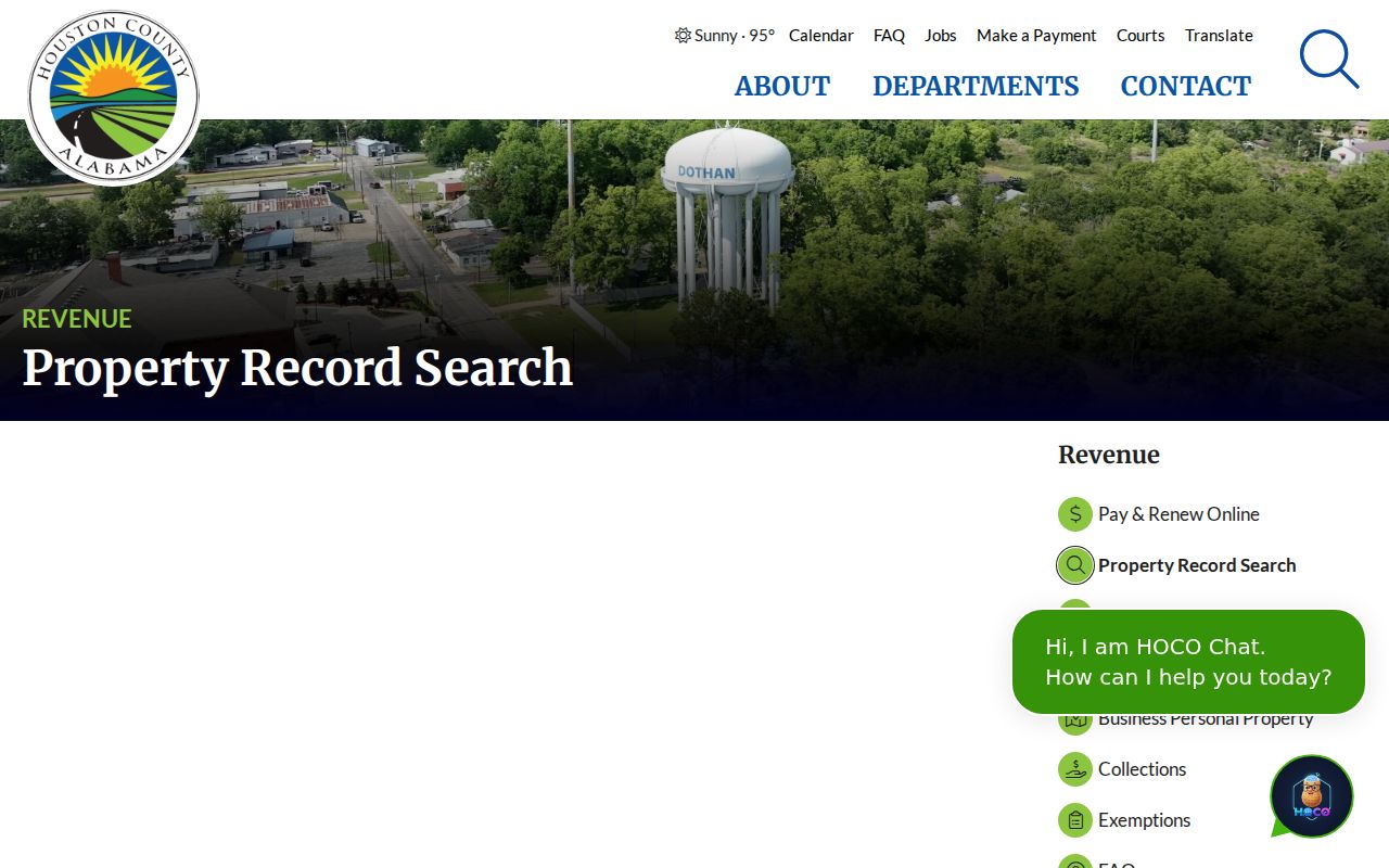
That route helps separate the official Revenue link from unrelated address databases with no county custody.
Read Dothan Property Results Carefully
The live Houston County property database supplies the current query interface. Dynamic result fields were not available for full inspection during research, so do not promise that every card displays an owner, mailing address, situs, value, exemption, or sketch. Confirm each field on the actual result. If the parcel card lacks the needed item, call the matching Revenue desk rather than filling a gap from a commercial source.
The live property database screenshot preserves the interface at capture time.
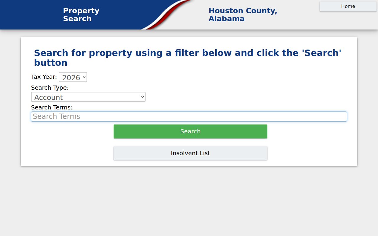
For a street-by-street project, save the parcel identifier and source date before clicking the next address.
A mailing address is where tax correspondence goes. The situs address is the parcel's street location. Matching values may be consistent with owner occupancy, but they do not prove it. Different values can indicate absentee ownership, a separate mailing destination, or another ordinary recordkeeping choice.
Map Dothan Streets by Parcel
The Houston County GIS is a tax map, not a survey or conveyance record. Accept its disclaimer, search or zoom to the subject parcel, click the polygon, and pan along the Dothan street. Then check each adjacent polygon one at a time. No Houston-specific radius or buffer tool was verified, so a street directory should not claim one. Measurements are approximate, and recorded deeds and plats control the land description.
At research time, the county warned that technical upgrades could cause some layers to fail or appear stale. The Mapping desk at 334-677-4755 is the fallback. The official GIS entry page documents that route.
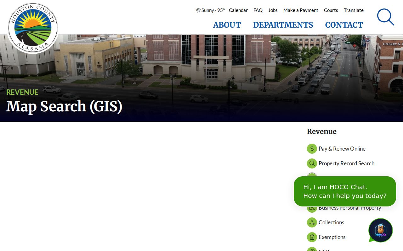
The entry page gives Dothan address researchers an official handoff when the interactive viewer changes or fails.
Dothan Street Records Coverage
Address-keyed sources describe different layers of a Dothan street. A parcel roll gives the tax layer. GIS adds geometry. A deed documents a recorded land transaction. Permit sheets date approved work. Voter lists can add public registrants, while a period directory may add a listed subscriber or resident. Keep each source's date and role visible.
| Dothan record | Keeper | Street evidence | Access route |
|---|---|---|---|
| Assessment and parcel | Houston County Revenue | Current roll identity and parcel context | Free dynamic search or counter |
| Parcel map | Revenue Mapping | Geometry, adjacency, and map identifiers | Free viewer or mapping desk |
| Deed or mortgage | Houston County Probate | Named parties, legal description, and address fields | Free search/view; $1 per download page |
| Voter list | Alabama election officials | Requested public registrants and address fields | Priced list request |
| Permit sheets | Dothan Building Inspection | Permit number, type, date, address, and other monthly fields | Public sheets or email/in-person request |
| Older directories | Wiregrass Archives, ADAH, and library | Period entries, subject to volume format and gaps | Archive, reading room, or reference desk |
The parcel key links the map, tax system, and deed. Street spelling helps with permits and old directories, but it may change. A legal description offers the stronger bridge when a Dothan street name or number no longer matches.
Trace Dothan Street Deeds
Search the parcel owner in Houston County's Ingenuity land records. County guidance says names work best last name first, without punctuation, and that fewer filled fields can yield more results. Open the purchase instrument and record the grantor, grantee, recording details, physical address, grantee mailing address, and legal description. Then search that grantor as an earlier grantee to move backward.
A deed is richer than a name hit. County recording requirements call for party names, marital status for certain signers, a preparer's identity and address, printed signatures, a grantee mailing address, and a complete legal description. Since August 1, 2012, a conveyance must also report the real purchase price or value in the instrument or a recorded validation form. Those details help confirm continuity along a Dothan street.
The Alabama county appraisal directory confirms the official county appraisal context.
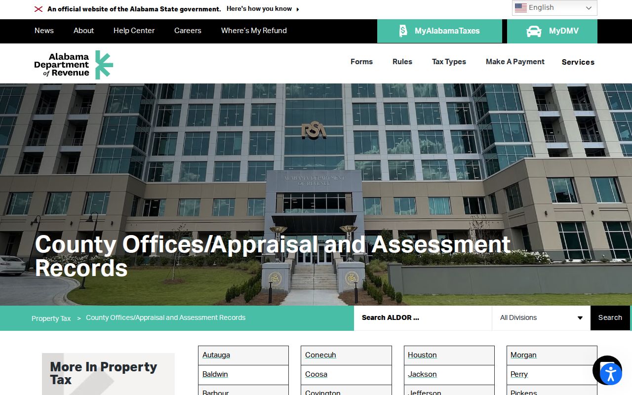
The state directory is a useful cross-check when a county link changes, while the recorded deed remains the source for title facts.
Dothan Street Permit Evidence
Dothan publishes monthly permit spreadsheets that can date work at an address. A May 2026 residential sheet includes permit number, type, contractor, issue date, address, subdivision, and total area. An April 2026 commercial sheet includes permit number, type, date, address, valuation, and fees. A December 2025 residential example also includes contractor, valuation, and permit fee.
The permit portal supports applications, status updates, and inspection requests, but no public historical address search was verified. Use the public monthly files first. For older or missing address-specific material, contact Building Inspection Services at 334-615-4450, submit by email to permits@dothan.org, or visit the Civic Center first floor. The start year of complete digital coverage is unknown.
Dothan Voters Along a Street
Alabama voter guidance routes an individual to My Voter Page, which checks one registration through first name, last name, date of birth, and reCAPTCHA. It cannot browse a Dothan street. A requested voter list is the different access channel for public residence and mailing fields, precinct data, registration date, and election history where available. The published request form lists electronic data at one cent per voter record and printed delivery at $1 per page, with a quote before payment.
A street directory built from voter data remains incomplete. It excludes nonvoters. Qualifying domestic-violence victims may omit residence and mailing addresses from generally available lists under Ala. Admin. Code r. 820-2-2-.26. A voting-history line shows participation only, never a selected candidate or ballot choice.
Dothan Annexation Address Changes
Dothan annexation packets warn that E-911 standards may change a street number or street name. The packet also requires parcel ID, legal description, a contiguity map, and all record-owner signatures. Those stable fields can reconnect an old address with the present parcel. Planning at 334-615-4410, the City Clerk at 334-615-3160, and the E-911 Addressing Agent at 334-615-4437 cover different parts of that work.
Annexation does not guarantee city water, electric service, sewer, road paving, or a postal change. A Dothan address index must therefore keep municipal jurisdiction, postal designation, county parcel location, and services as separate facts.
Note: Legal descriptions and parcel identifiers are safer continuity keys than street labels after an E-911 change.
Dothan Reverse Directory Trail
A criss-cross directory is arranged by street or telephone number rather than only by surname. If a Dothan volume contains a street section, inspect its abbreviation key first, find the street, move through the number order, and transcribe the occupant or subscriber exactly. Do not infer a spouse, occupation, owner status, or residence code unless that volume's key defines it.
Verified candidates include Polk Dothan directories at Wiregrass Archives for fifteen years from 1967 through 1991, Dothan volumes at the Alabama Archives from 1959 through 2001 with gaps, and a 1963 regional telephone directory at the Library of Congress. The Dothan Houston County Library System does not publish exact reverse-directory shelf years, so ask its Local History Room before visiting. Full historical shelf coverage belongs in the Dothan city directory.
- Parcel
- A mapped tax and land-record unit.
- Situs address
- The parcel's assigned street location, distinct from owner mail.
- Plat
- A recorded map showing lots, boundaries, or subdivision layout.
- Criss-cross directory
- A directory arranged by address or phone so a street can be read in sequence.
Dothan Street Lookup Limits
No Dothan street directory exposes every person behind every door. Property systems focus on owners, not renters or all household members. Utility and driver records are not public resident rolls. Voter files omit nonvoters and protected addresses. Old directories miss unlisted subscribers and households not reached by a canvass. GIS geometry is approximate and not a legal survey.
Commercial neighbor compilations may also hold stale addresses or merge same-named people. Use them only as unverified leads, if at all. A defensible address finding names its record, date, custodian, and limits. Personal safety and privacy remain more important than completing a block list.
Lawful use. Use Dothan address records only for lawful personal research. Alabama law prohibits stalking and harassing communications, including harmful electronic conduct.